KANAZAWA
Biking Through Blossoms: The Best Kanazawa Cycling Itineraries for Sakura Season
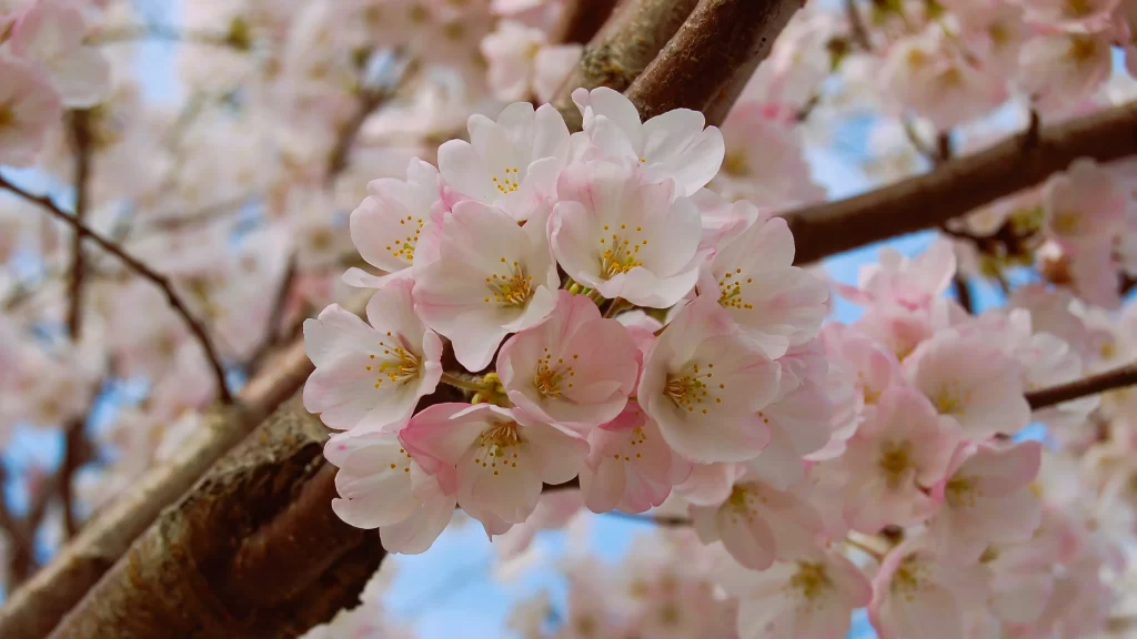
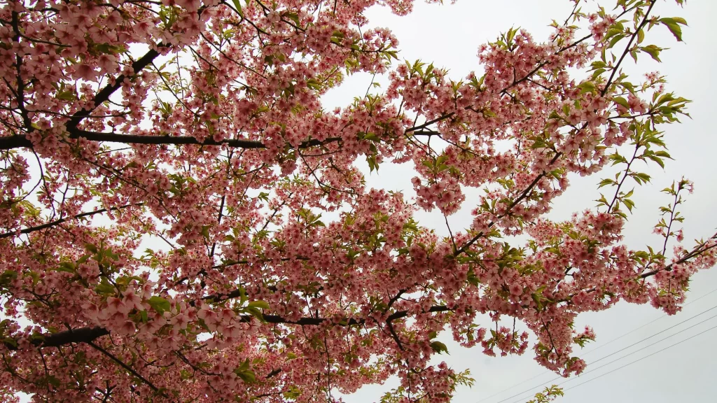
Around just about every corner in Kanazawa, you’ll find a cherry tree. You can’t throw a pebble without hitting one. (But no, don’t throw pebbles at the trees. That’s mean.) Kenrokuen Garden and Kanazawa Castle Park are the most popular and accessible places to enjoy sakura, or cherry blossoms, but if you’re at all like me, then you’re more interested in taking in the essence of Japanese springtime at a slightly faster pace than on foot. As it just so happens, there are alternative places to explore and also a method to satisfy: by bicycle!
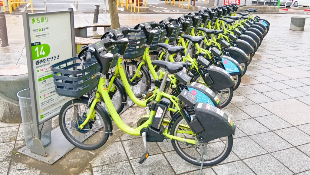
If your hotel doesn’t offer bicycle rentals, download the app (linked from the official website at https://www.machi-nori.jp/en/ ) for Kanazawa City’s electric-bicycle ride sharing.
©Keri Yazawa
It’s called Machi Nori and although the bicycles may seem a little on the small side, the seats lift to accommodate people with a pant leg inseam of over 30 inches. If your legs are longer than the seat can adjust to, don’t worry. With a gentle nudge, the electric assist kicks in. These bikes will get you where you want to go with minimal strain on the knees and for an extremely reasonable rate of 165 yen (less than $1.50 USD) per 30 minutes.
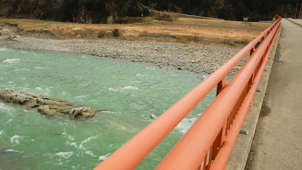
Itinerary 1: Riding the Sai River East
©Keri Yazawa
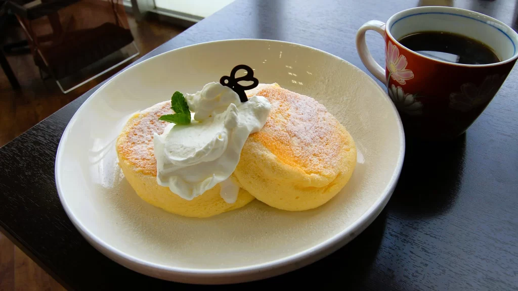
Starting from Saigawa Shrine, a 4-kilometer ride upriver takes you toward the mountains, ending in a stop for souffle pancakes at Kanazawa Yamagishi’s Mitsubachi Cafe, which has a shop on the ground floor that sells locally made honey and a cafe just up the steps from that.
©Keri Yazawa
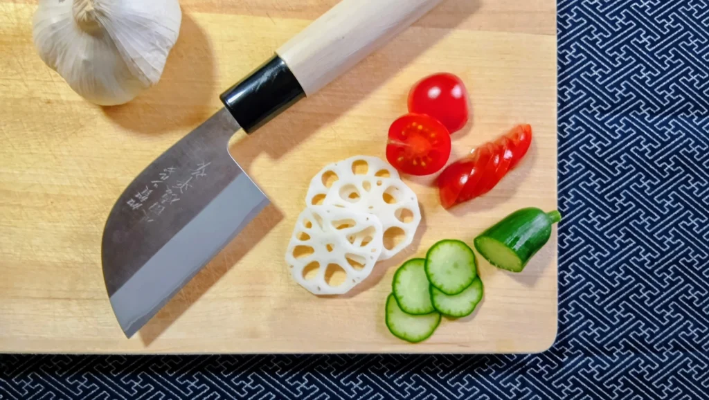
If you arrive outside of cafe hours, never fear: there’s also a Coco’s Family Restaurant, a Starbucks, and several other Japanese chain restaurants plus an Albis Supermarket with a sizable bakery and a delicatessen in the immediate area. The DAISO 100-yen store is worth a visit if you haven’t yet seen Japan’s take on the American dollar store. (I advise you to set a time-limit for yourself and bring a backpack for toting your finds home!)
Locking your Machi-Nori bicycle is as easy as pushing in the trigger and lowering the ring on the rear tire. When you’re ready to take off again, simply push START and re-enter your unlock code. To head back, retrace your path. Park your bicycle at an official Machi-Nori station, lock it and press ENTER to end your ride-share. Bicycles can travel in either direction on one-way streets, but you must keep to the left and ride single-file. (More essential bicycle advice here: Bicycling in Japan 101.)
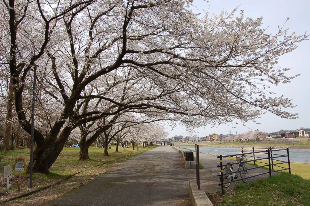
Itinerary 2: Riding the Sai River West
©Keri Yazawa
Alternatively, you can cruise 8 kilometers down from Saigawa Shrine toward the seaside. Stop for lunch at Indian Restaurant Blue Diamond which offers very tasty curries. Or, if you’re not that hungry, wait until you pass Kanaiwa Port to refuel. There are several cafes where the Sai River meets the Sea of Japan: Cafe de Reverie, Soramiso, Ten riverside, and Oto Cafe.
©Keri Yazawa
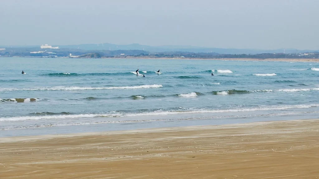
Before you get within sight of any cafes, you need to leave the riverside road. It ends abruptly at a dry dock. Follow the path down to the right and then around to the left. (At this point, you could investigate those cafes.) To reach the recommended destination, hang a left onto the street, which will take you over a bridge. At the 3-way intersection, turn left again. Ride into the forest, up and over the hill, and past the citizen’s swimming pool complex. Park your bicycle (don’t forget to lock it!) before you go around the corner of the public restrooms. There, on your right, is a sandy asphalt lane that will take you right to the seaside for a quiet day at the beach.
©Keri Yazawa
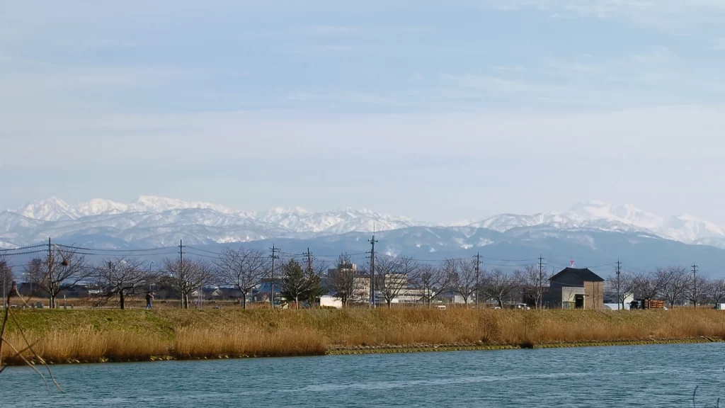
As you make your way back to downtown Kanazawa, you’ll be able to see the white cap of Hakusan Mountain just ahead and slightly to the right. And, on a very clear day, you might just spy the jagged peaks of snowy mountaintops to your left – that’s the Tateyama Alpine Range in neighboring Toyama Prefecture.
©Keri Yazawa
Itinerary 3: Riding the Health Road to Akitsuneyamakofun Park
©Keri Yazawa
If you’d rather be closer to the mountains to take in the cherry blossoms, turn in your Machi Nori bicycle and hop on the local Hokuriku Tetsudo train out to Tsurugi. Just as you exit the station, lookt to your right and you’ll see E-CRUTTTO bike rentals. This is the place to get mountain bikes (either electric or conventional) for cruising in style and comfort! The English-speaking staff can also offer time-saving advice and must-see suggestions for your route as well.
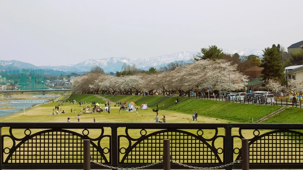
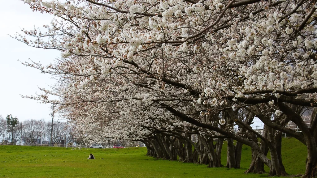
Now equipped with your shiny e-bike, go past the train station and then circle around behind it until you reach the Tedori River. Just after you ride through the major intersection, look to your left. There are daytime campgrounds down by the riverside and a long line of cherry trees up on the levee road. (Feel free to take a detour here before you continue on.) Next, cycle over the Tengubashi Bridge on the Ishikawa Prefectural Road No. 4.
©Keri Yazawa
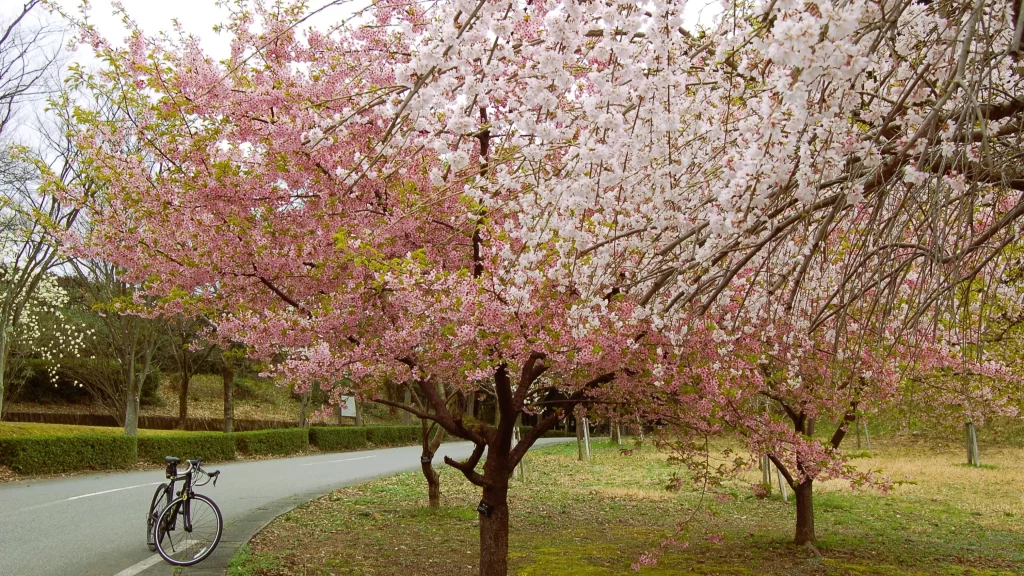
The road curves to the right, but look for the old Iwamoto station sign on your left. It’s a big, blue-green monolith-type of thing. A line of gnarled cherry trees starts here. This is where you’ll leave the main road and take the paved path that stretches through farmland and toward the neighboring cluster of houses. Portions of this used to be a local train line, but it was converted into a walking and bicycling path. It’s now called Health Road on Google Maps. It occasionally skips over a block to the right here and back to the left there, but don’t worry too much about getting lost – keep the forested hills to your left and you’ll be fine so long as you follow the sakura.
©Keri Yazawa
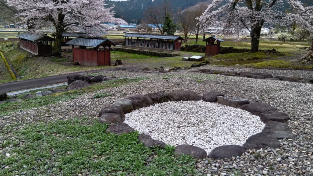
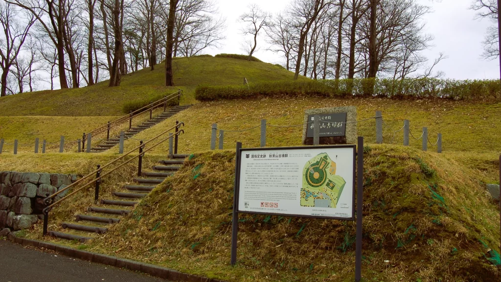
For this trip, packing a lunch is your safest bet as there aren’t many meal options on the path you’ll be using. However, about 2 miles from the bridge, you’ll see a Lawson Convenience Store ahead on your left. This is a good place to grab something to eat before you cross the main road, backtrack a moment or two, and pick up the trail again. The Health Road stretches for nearly 10 miles in total past various small shrines, another Lawson, and an Albis supermarket. To reach your destination, keep an eye open for a Family Mart convenience store on the other side of the field to your right. Cycle over to that intersection before you continue going in the same general direction (west). Your destination for relaxation (and also a little education on Japanese prehistory!) is Akitsuneyamakofun Park.
©Keri Yazawa
This is, in my opinion, the best example of Nomi City’s many clusters of earthen-mound tombs, or tumulus, called kofun in Japanese. There are two tombs here, one square and one keyhole shaped, that you can wander around on the landscaped grounds and read (in English!) the explanatory outdoor placards.
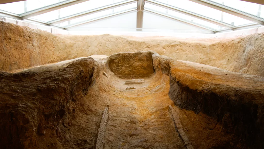
The square tomb (or, Kofun No. 2) is thought to be the burial site of a very important woman, perhaps a shrine maiden, who may have been related to the chief who is believed to be buried in the neighboring Kofun No. 1 (the keyhole tomb). Climb up to the top of the square tomb (on the right) and go through the metal doors. Inside is an exhibit that explains the site (in Japanese only, so bring your translation app!) and offers a reconstruction of the burial chamber as it was discovered by archaeologists.
©Keri Yazawa
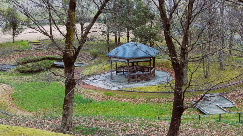
There’s a small park at the base of the keyhole tomb with a gazebo and clean public restrooms. If you visit in time to catch them, the cherry trees will be in bloom. The place is gloriously green in summer and ablaze with color in autumn. Although there is a water spigot, the water is not for drinking. Nor are there any vending machines. Make sure you bring food and drinks with you and prepare to pack up your garbage and carry it back with you as there are no trash bins available.
©Keri Yazawa
Keep in mind that, as a former train line, the Health Road is flat, so if you find yourself riding up or down hills, then you have left the course. If you would like to return by a different route, head north (venturing in the opposite direction from the mountains) and you’ll reach the Tedori River. There’s a riverside road that runs up and down the levees that will take you either all the way to the seaside (approximately 10 miles from E-CRUTTTO bicycle rentals) or directly back toward the Tengubashi Bridge.
This article was written by Keri Yazawa
About Keri Yazawa
Keri Yazawa has been a resident of Kanazawa City since 2005 and enjoys cycling, stamp-making, and tofu!
©Keri Yazawa